There is a speed limit option on Google Maps that tells you the speed limit on specific roads. Although it can assist users in staying mindful of speed limits, Google Maps does not actively work to stop speeding or provide alerts about possible citations.
The speed limit function on Google Maps can be used as follows:
Launch the Google Maps app:
On your mobile device, use the Google Maps application.
Put the navigation mode in place:
Put your location in the navigation and press the start button to enter navigation mode.
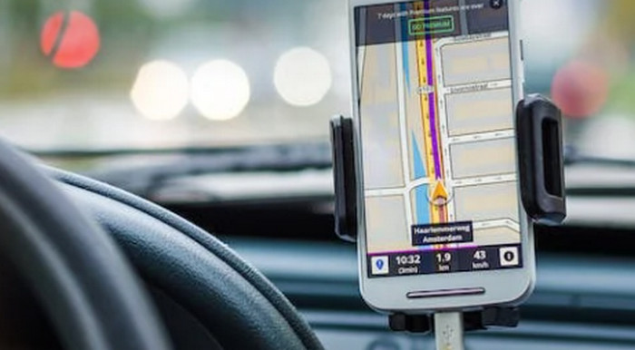
Verify the speed limit:
Look for the speed restriction icon in the lower left corner of the screen when in navigation mode. If the speed limit for the present road is known, it will be shown.
It’s crucial to remember that different regions may have different speed limit data available, and not all routes may have this information.
Google Maps does not actively track your car’s speed or issue alerts about exceeding the speed limit to avoid tickets as of my most recent update. It is imperative that motorists travel carefully and within the posted speed limits. It’s also important to abide by local traffic laws because different places have different rules and restrictions about using navigation applications and devices while driving.
For the most precise and recent information, I advise consulting the most recent version of the app or the official Google Maps manual if any upgrades or new features have been added since my last knowledge update.